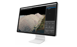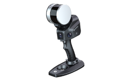
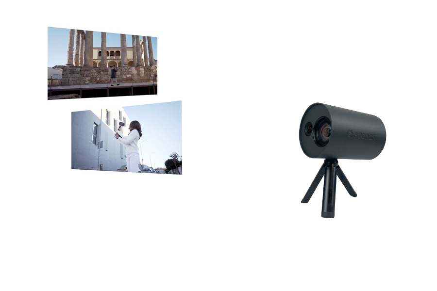
STONEX vSLAM
3D Model Production System with Photogrammetric Techniques


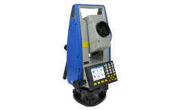
We have solutions from technologically advanced equipment manufacturers in the field.
Equipment that will increase your work productivity!

Value-added services for the professional

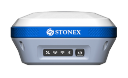
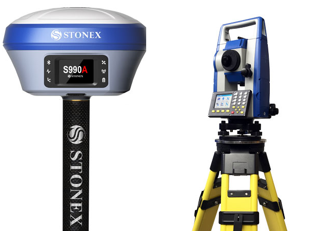
Permanent reference station system. Over 100 FULL GNSS permanent reference stations activated.
 04 November 2024
3D Model Production System with Photogrammetric Techniques
 18-20 OKT
All the latest from the field of topography and geoinformatics
 01 September 2024
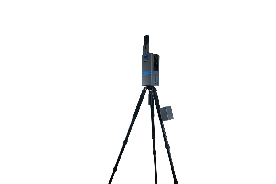
The new 3D Laser Scanner from STONEX X100.